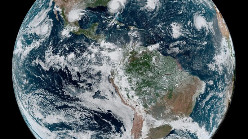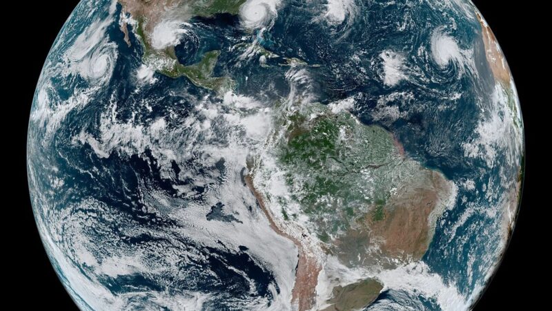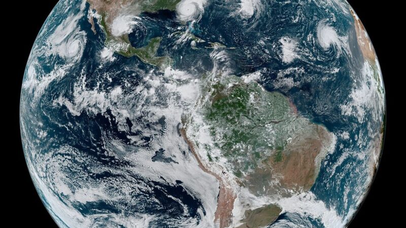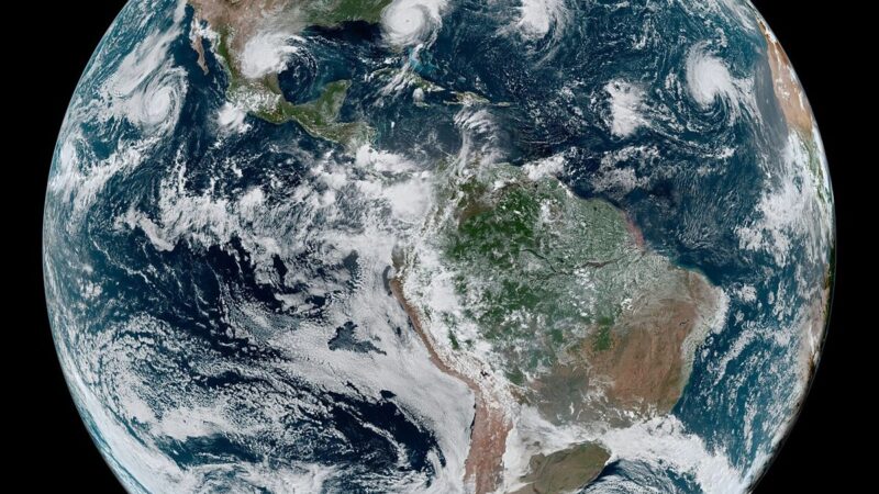

The most dangerous phase of Cyclone Arnab may be the one happening now, far from the coast where it made landfall. The storm has moved inland with heavy rain and red alerts, and the inland phase, with rivers rising hours after the rain, is often more dangerous than the coastal strike itself. Communities that were never in the surge path, that watched the cyclone cross the Andhra coast from a safe distance, are now facing rising water in rivers swollen by rain that fell upstream and is still making its way downhill.
The pattern is well understood by forecasters and poorly understood by the public. A cyclone’s winds weaken quickly over land, which creates the impression that the danger has passed. Its rain does not weaken as fast, and the water it drops across a wide catchment gathers into rivers that can peak a day or more after the rain stops. That delay is what makes inland flooding so treacherous: people return home, resume normal life, and then find a river rising through a village that never saw a storm surge.
The red alert map
Red alerts for heavy rain have continued across inland districts even as coastal warnings eased, and officials have urged residents in river catchments to stay alert after the rain rather than during it. The warning grid that moved more than 100,000 people before landfall is now being tested in a different way. Coastal evacuation is a single, dramatic operation. Inland warning is a sustained conversation with communities spread across river systems, each with its own timing, its own safe ground, and its own road network that may already be cut.
Relief operations must adapt to that geography. Camps, kitchens and power lines set up for coastal evacuees must now serve inland families as well, and the staged return of coastal evacuees cannot be confused with an all clear for inland districts. Power restoration, water supply and road access are being restored in sequence, but a restored road that crosses a rising river is not a safe road, and officials have stressed that the return home must be governed by local conditions rather than by a single statewide announcement.
What the next warning must cover
Arnab will change how the next cyclone is warned about. The warning grid behind this storm proved it could move 100,000 people from a surge path. Its inland test will show whether it can keep people safe from rivers that rise after the rain, in places that never expected to flood. That requires river level monitoring, catchment by catchment, and warnings that reach people who have already returned home and may have stopped listening. The warning grid that moved 100,000 people before landfall is now the system inland communities are relying on.
For now, the message from officials is simple and worth repeating: the storm has not ended because the wind has dropped. Rivers are still rising, red alerts are still in force inland, and the safest course is to wait for local advice before assuming a road, a home or a river crossing is safe. Arnab’s coastal story was a success. Its inland story is still being written.